
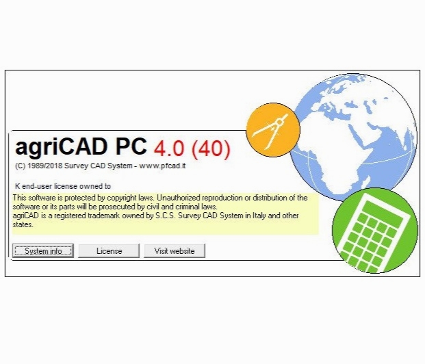
Survey CAD System agriCAD 4.0.40
- کاربرد : نرم افزار تحلیل نقشه های عمرانی از نظر کشاورزی
- نسخه :Version 4.0.4
- نوع فایل : نرم افزار
- زبان : انگلیسی
- سیستم عامل : Windows 32 & 64 Bit
- تولید کننده : survata
- سال تولید : 2018
توضیحات
نرم افزار تحلیل نقشه های عمرانی از نظر کشاورزی
Description
agriCAD is an Italian company that since 2005 develops satellite technology for agriculture. Agricad PC offers tools for mapping and design work in Agriculture.
It is developed in CAD environment and the main functions are:
Mapping management
Verification and control of borders
Visualization and printing of the work carried out with Supertrack
Design of vineyards and orchards
Pivot irrigation design
Management of slurry spreading operations
New accounting functions
Remote connection with tractors for real-time data exchange
برای اطلاع از طریقه نصب به فایل How to Install.txt رجوع شود.
